Tourism
Tourism is one of the world’s largest and most rapidly expanding industries, contributing over ten percent to the global GDP. Tourism is a significant contributor to the global economy, and with the advancement of information technologies, it has become an essential tool for economic growth and redistribution of wealth.
Planning and management of tourism infrastructure require the integration of various elements such as attractions, services, and transportation facilities. To achieve this integration, spatial data collection and processing are essential, and Geographic Information Systems (GIS) provide a valuable tool for this purpose. In this blog, we will discuss the role of GIS in tourism planning and management.
Information technologies and tourism are two of the most dynamic motivators of the emerging global economy. Both tourism and IT increasingly provide strategic opportunities and powerful tools for economic growth, redistribution of wealth.
Tourism Planning

Tourism planning refers to the integrated planning of attractions (i.e., natural, cultural, man-made), services (e.g., accommodation, restaurants, shops, visitor information. Tour and travel operations, money exchange, medical facilities, postal services, etc.), and transportation facilities (i.e., both material infrastructure and transportation services), here also referred to as „tourism infrastructure “.
Tourism planning requires more spatial data collecting and processing. As all locations and their interrelations should be defined and analyzed within a spatial context.
For this purpose, GIS can describe and identify tourism infrastructure elements geometrically, thematically, and topologically. Moreover, GIS can deal with both object data (e.g., visitor centers, trails) as well as field data (e.g., humidity, altitude) of which both types can be represented in either grid or vector data format.
How GIS Works in Tourism Planning?
GIS operates on two data elements: spatial and attribute data. Spatial data refers to a known location on the Earth’s surface, expressed in degrees of latitude and longitude or grid coordinates.
Tourism planning requires the collection and analysis of spatial data to describe and identify tourism infrastructure elements geometrically, thematically, and topologically.

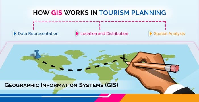
Data Representation
GIS tools can represent object data such as visitor centers and trails. As well as field data such as humidity and altitude, in either grid or vector data format. GIS enables tourism planners to visualize and analyze spatial relationships between different elements of tourism infrastructure, such as attractions, services, and transportation facilities.
Location and Distribution
This information can then be used to make informed decisions about the location and distribution of these elements. Based on their accessibility, environmental impact, and economic feasibility. GIS can also assist in the assessment of tourism impacts on the natural environment, such as water quality, air quality, and biodiversity.
Spatial Analysis
GIS can also play a crucial role in tourism marketing by providing spatial analysis of visitor demographics, preferences, and behavior. GIS tools can help tourism managers identify target markets and develop tailored marketing strategies to attract visitors to specific destinations. Additionally, GIS can assist in the development of tourism-related products and services by providing spatial analysis of market demand and supply.
How Does GIS Apply to Tourism?
GIS in tourism can have advantages for both tourists and the tourism development authorities.
Advantages for the Tourists
Visualization of tourist sites, seeing what’s available in the area they want to travel. And they get valuable information on tourist locations that can be embedded in the GIS. For example, Videos, Photos, Hotels and restaurants, Route planning, etc.
Conclusion
GIS provides a valuable tool for tourism planning and management by enabling the collection, analysis, and visualization of spatial data. By integrating GIS into the planning and management of tourism infrastructure. Decision-makers can make informed decisions about the location and distribution of tourism elements, based on accessibility, environmental impact, and economic feasibility.
GIS can also assist in the assessment of tourism impacts on the natural environment and the development of tourism-related products and services. With the continued growth of the tourism industry, GIS will become an increasingly important tool for sustainable tourism development.


