

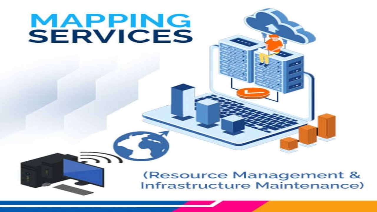
GIS Mapping services, or geographic information systems, play an important role in ensuring that resources are managed efficiently and that the overall infrastructure is maintained.
With accurate and up-to-date map information, professionals in fields such as public services, environmental management, and urban planning can make informed decisions and conduct business with precision.
In this blog about GIS Mapping Services, we will explore the practical processes and procedures involved in GIS mapping services and why they are important.
Processes Involved in GIS Mapping Services
GIS mapping involves a complex set of processes to collect, preprocess, analyze, and visualize geographic data. These processes require specialized software, technical expertise, and careful attention to data quality and accuracy.
By leveraging the power of GIS mapping, organizations can make informed decisions, optimize resource management, and improve overall operational efficiency.
The following GIS mapping processes are used to collect, analyze, and visualize geographic data:
Data Acquisition
The first step in GIS mapping services is data acquisition. This can involve a variety of methods, including satellite imagery, aerial photography, and ground surveys. Once the data is collected, it must be processed and analyzed to create accurate maps and other spatial products. This involves using specialized software to manipulate and interpret the data, often including complex algorithms and statistical analysis.
Base Map Creation
One important aspect of GIS mapping services is the creation of accurate base maps. These maps provide a foundation for all other mapping products and can include information such as roads, buildings, and topography. Accurate base maps are essential for infrastructure maintenance and emergency response, as they provide a detailed view of the landscape and potential hazards.
Utility Mapping
Another important application of GIS mapping services is utility mapping. This involves mapping the location of underground pipes and cables, such as water, gas, and electrical lines. Accurate utility mapping is crucial for preventing excavation damage and ensuring efficient maintenance and repair of infrastructure.
Environmental Management
GIS mapping services also play a role in environmental management, such as mapping wetlands, forests, and wildlife habitats. This information can be used to plan and carry out conservation efforts and monitor changes in the environment over time.
Data Sharing
In addition to data acquisition and analysis, GIS mapping services also involve data sharing and collaboration. Many GIS mapping products are shared among different organizations, such as government agencies and private companies, to ensure that everyone has access to the same accurate information. This sharing of data allows for better coordination and more efficient resource management.
Data Collection
Data collection is a process involving collecting data from various sources, including satellite imagery, aerial photography, ground surveys, and public records. The data may be in various formats such as digital maps, GPS data, or satellite images.
Data Preprocessing
Once the data is acquired, it is preprocessed to prepare it for analysis. This includes cleaning the data, eliminating errors and inconsistencies, and converting it into a usable format.
Data Analysis
This involves using specialized software to analyze the data, create visualizations, and derive insights. This process may involve complex algorithms and statistical analysis to identify patterns, trends, and relationships in the data.
Cartography
This is the process of designing and creating maps that accurately represent geographic data. It involves selecting appropriate symbology, colors, and scales to convey the information effectively.
Spatial Modeling
Spatial modeling uses GIS software to create models that simulate real-world phenomena. This process can be used to predict future scenarios, analyze the impact of different factors, and make informed decisions.
Spatial Database Management
This involves creating and maintaining a spatial database that contains all the geographic data used in the GIS mapping process. This database must be designed to efficiently store and retrieve data and ensure data integrity and security.
Data Collaboration
GIS mapping involves sharing data and maps with other organizations and stakeholders. This process involves standardizing data formats, ensuring data quality, and providing secure access to data.
Conclusion
In conclusion, GIS mapping services are crucial for efficient resource management and infrastructure maintenance.
So, through data acquisition, analysis, and sharing, accurate maps and other spatial products can be created to support decision-making and operational activities.
Whether it is utility mapping, environmental management, or urban planning, GIS mapping services provide an essential tool for professionals in a wide range of fields.